
Apopka ZIP Directory Coverage
Apopka publishes three ZIP codes in its statistical information. The official research supports broad area descriptions for 32703 and 32712, but not exact boundary polygons. Only the 32712 post office and its services were confirmed directly with USPS. The 32704 facility type remains unverified, so it should not be described as a PO-box-only code.
| ZIP Code | Areas Covered | Post Office | Notes |
|---|---|---|---|
| 32703 | Core and southern/eastern Apopka | Exact facility not verified | Standard postal ZIP; check city jurisdiction |
| 32704 | Listed by the city as serving Apopka | Type and facility not verified | Do not assume PO-box-only status |
| 32712 | Northern/northwestern Apopka and Errol area | APOPKA, 581 N Park Avenue | Retail, carrier, and general delivery |
The City of Apopka statistics page supplies the official ZIP list alongside changing acreage and population figures.
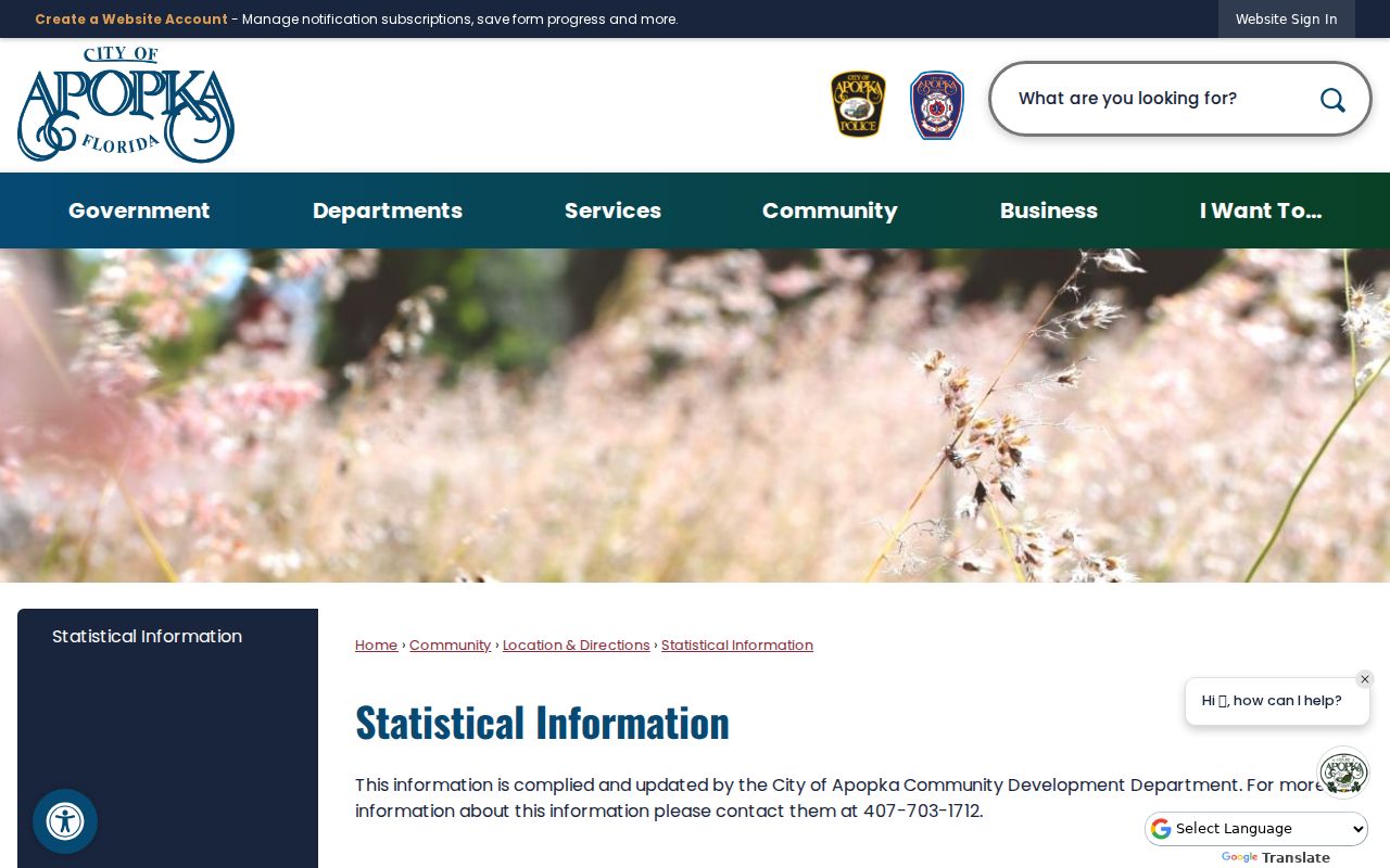
The city list establishes which codes it names, while postal and parcel tools answer different questions about a specific address.
Apopka Growth Across ZIP Areas
Apopka's land area expanded from 8,214.8 acres in 1990 to 23,045.05 acres in 2023. That change helps explain why a postal label and city service boundary cannot be treated as the same thing. The original Lodge-centered core, the fern and nursery belt, Errol Estate, and newer Kelly Park and State Road 429 growth represent distinct development eras.
Errol Estate is framed by Kelly Park Road, U.S. 441, State Road 429, and Rock Springs Road toward Wekiwa Springs State Park. Those landmarks can orient a ZIP search, but recorded parcels and official jurisdiction layers must settle the exact question. South Apopka presents a separate annexation issue, so an address mailed as Apopka may still receive county services.
Note: City growth does not prove that a ZIP split occurred; no official dated Apopka-wide ZIP realignment was found in the research.
Find Apopka Residents by ZIP
The strongest ZIP-based resident search begins with OCPA parcel geography. The property data contains a physical ZIP_SITUS field and a separate owner-mail ZIP or ZIP+4. The former belongs to the parcel; the latter is merely where tax mail is sent. Sunbiz also accepts ZIP searches, but its results are filing addresses for entities and officers, not a roll of residents.
- Confirm the delivery city and ZIP through USPS for the exact address.
- Open OCPA WebMap, enable the ZIP and Jurisdiction layers, and locate the parcel.
- Read ZIP_SITUS, owner-mail ZIP, city or millage, and parcel identity as separate fields.
- Use the voter request by municipality or precinct if needed; Orange County offers no ZIP checkbox.
- Once the area is small enough, use the Apopka street directory for the address-level trail.
| Field or layer | What it means | Search caution |
|---|---|---|
| ZIP_SITUS | Postal ZIP at the physical parcel | Not the owner-mail ZIP |
| Owner ZIP / ZIP+4 | Tax mailing destination | May be outside Florida |
| ZIP layer | Parcel map's postal geography | Not a legal city boundary |
| Jurisdiction layer | Government service area | Use for city versus county routing |
Orange County's voter request can be scoped to Apopka municipality or named precincts. Its Street Index is countywide only. Files arrive as text or ZIP, and the requester supplies compatible software. Participation data can show which elections a voter took part in, never the person's ballot choices.
Check Apopka ZIP 32712
The confirmed USPS facility is APOPKA at 581 N Park Avenue, ZIP 32712, phone 407-886-5375. Retail hours are weekdays 8:30 a.m. to 6 p.m. and Saturday 9 a.m. to 2 p.m. The location provides carrier and general delivery service. USPS is the source for delivery details; OCPA remains the source for parcel and jurisdiction facts.
The USPS 32712 location result shows the verified facility and service information.
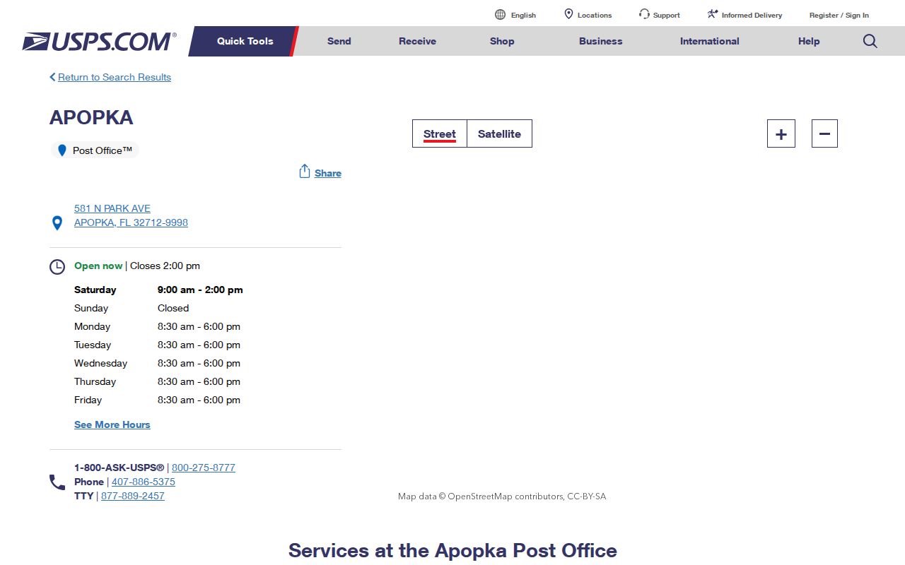
This official result should not be stretched into claims about the unverified 32703 or 32704 facilities.
Apopka ZIPs Versus City Limits
A postal ZIP routes mail. It does not assign permit, police, code, or tax jurisdiction. An address can use “Apopka” in its mailing line while remaining outside the city, especially around South Apopka and annexation edges. Check OCPA's Jurisdiction layer and city maps before sending a records request. The government that created the record is the likely custodian.
- ZIP vs ZIP+4
- A ZIP identifies a delivery area; the extra four digits narrow the delivery point or group.
- PO-box ZIP
- A code used mainly or only for post office boxes. No such classification was confirmed for Apopka here.
- Unique ZIP
- A code assigned to one large recipient rather than a broad neighborhood.
- Carrier route
- The sequence or group of addresses served by a postal carrier, not a city district.
Boundary check. Never use an Apopka mailing line alone to decide which office keeps permits, code cases, police reports, or city records.
Apopka Districts Inside ZIPs
ZIP areas contain smaller public and civic geographies. Apopka names special-assessment or neighborhood districts such as Mainline Village, Maine Avenue Villas, Cimarron Hills, Martin Place Phase 2, Lovell Terrace, and Lake McCoy Oaks. These districts can support services after an HOA dissolves, but they are not household directories and do not establish who lives at an address.
The city's special assessment page shows the official district context that sits beneath broad ZIP geography.
A district name can refine a place search, but parcel and street records remain necessary for a person match.
Bridge Old Apopka Addresses
No dated citywide street renumbering was verified for Apopka. When an older address will not map cleanly, use the legal description, parcel number, subdivision, plat, and street variants in Orange County's Master Street Address Guide. Parcel numbers encode section, township, range, and ancestry; subdivision parcels use plat, lot, and block. Other land may use a metes-and-bounds description written from surveyed calls.
The recorded legal description controls over GIS. Map layers help locate and compare land, but they are not surveys or title evidence. This method is especially useful when annexation changed the government boundary without changing the familiar postal place name.
Limits of Apopka ZIP Lookup
A ZIP-wide result is not a resident census. Property files omit renters and household members. Voter files omit children, nonregistrants, protected voters, and some inactive or cancelled registrations. Business filings can show an agent or mailing address with no home connection. A ZIP code directory narrows geography; it cannot prove occupancy.
Use a ZIP to choose the likely area, then verify the exact parcel, jurisdiction, name, and date across two official sources. Keep protected addresses private, and never combine public data to defeat a statutory suppression. That measured approach preserves the useful geographic role of an Apopka ZIP code directory without overstating what postal data can show.
County records also use geographies that do not follow postal lines. Voter files can be ordered for Apopka municipality, districts, or named precincts. The OCPA map can display subdivisions, zoning, HOA, survey, and jurisdiction layers. Each boundary answers its own question. A precinct supports election research, a subdivision supports parcel research, and a ZIP supports mail routing.
Dates deserve the same care. An inactive voter entry does not establish the day a person moved. A deed identifies owners rather than all occupants, and a permit identifies work or an applicant rather than residence. Treat each result as evidence of the limited fact its custodian maintains. Then compare the physical address, name, parcel, and time period in another official source before making a match.