
Walk an Apopka Street
An Apopka street search works best as a chain. First settle the official spelling and direction. Then find all taxable parcels, inspect each one, and follow the owner into the deed index. Residence evidence comes later. A parcel roll names owners, not every person who lives there, while voter and reverse-directory sources each omit whole groups.
- Check the street in the Orange County Master Street Address Guide. Note the approved suffix and direction.
- Enter the street name alone in OCPA's SITUS field to return taxable properties along it.
- Open WebMap, inspect adjoining parcel polygons, and turn on jurisdiction, subdivision, ZIP, zoning, HOA, and survey layers.
- Take the owner, parcel ID, sale instrument, and legal description to Orange County Official Records. Confirm the deed image.
- Search Apopka OpenGov by address, then check the voter Street Index request and available reverse directories.
The order matters. The recorder does not lead with a street-address field. OCPA supplies the owner and land identifiers that make a grantor or grantee search precise. For older occupancy, the Apopka city directory collections identify verified years and shelf access without treating owners as occupants.
Fix Apopka Street Names
Orange County 9-1-1 Administration maintains the Master Street Address Guide, or MSAG, for county and municipal streets. The office coordinates new names, guards against duplicate or similar-sounding names, and may change a name after annexation. Its tool accepts a whole or partial street name. Questions go to 911MSAG@ocfl.net or 407-836-6724.
The source helps when an address has a missing direction, an uncertain suffix, or spelling that changed in later records. No authoritative, dated citywide Apopka renumbering project was found. Do not assume one. Bridge a doubtful old address with its parcel, subdivision, plat, legal description, MSAG variants, and annexation maps.
See the official Orange County street-name search before copying an address elsewhere.
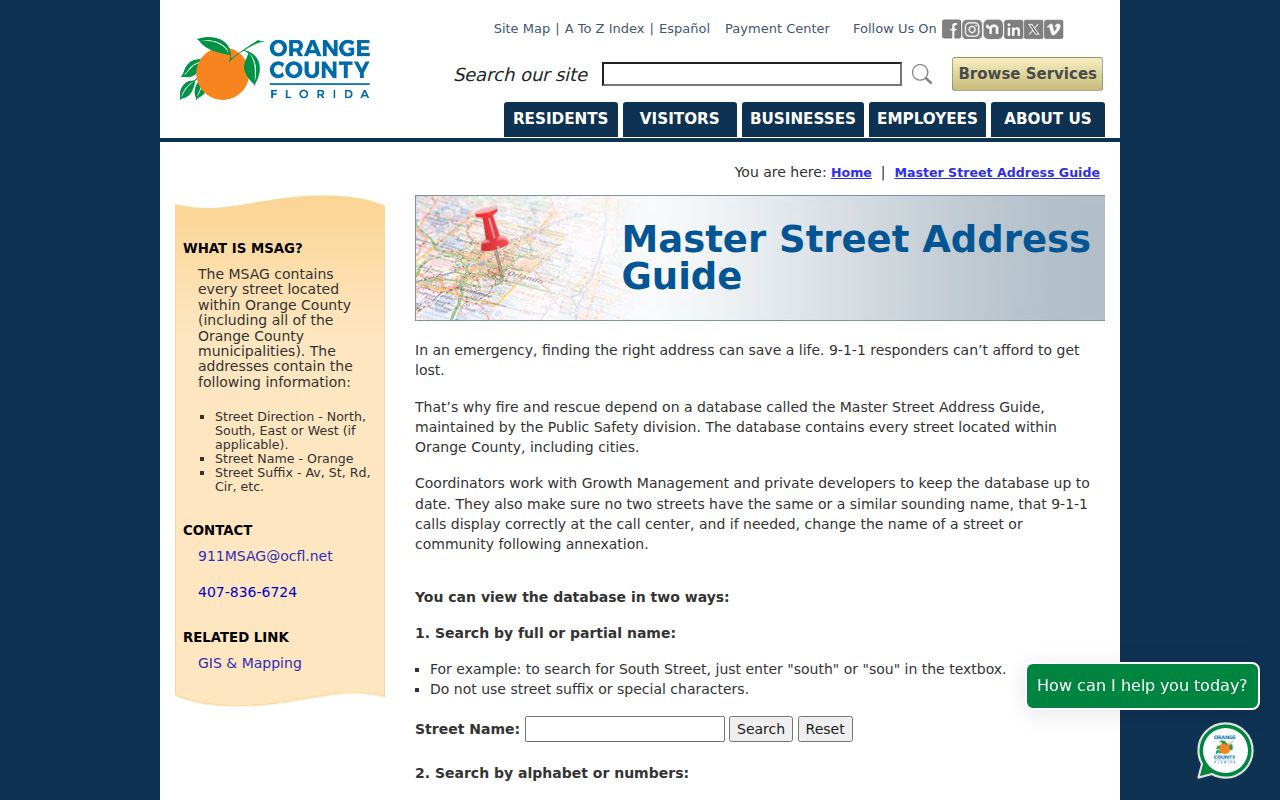
The captured search shows why the exact street form should be fixed before parcel or permit work.
Search Apopka Parcels by Street
The Orange County Property Appraiser dashboard supports address work more directly than the deed index. SITUS means the physical parcel address. A street name alone can browse that street. Address Point includes units, though the help says to omit words such as “Unit” or “Apartment #.” Owner searches use last name followed by first name. Parcel IDs work with or without hyphens.
| OCPA field | Input | Needed? | Apopka use |
|---|---|---|---|
| Parcel ID | Autocomplete | No | Hyphenated or compact identifier |
| SITUS | Autocomplete | No | Physical site; street alone browses parcels |
| Address Point | Autocomplete | No | Address with units, without unit labels |
| Property | Autocomplete | No | Commercial or property name |
| Owner | Autocomplete | No | Last name, then first name |
| Coordinates | X,Y or latitude/longitude | No | Mapped point when address fails |
A parcel card can show names, situs and mailing addresses, use, exemptions, values, sales, year built, zoning, acreage, and legal-description data. Keep each value tied to its assessment year.
Open the OCPA property search dashboard to see the modes.
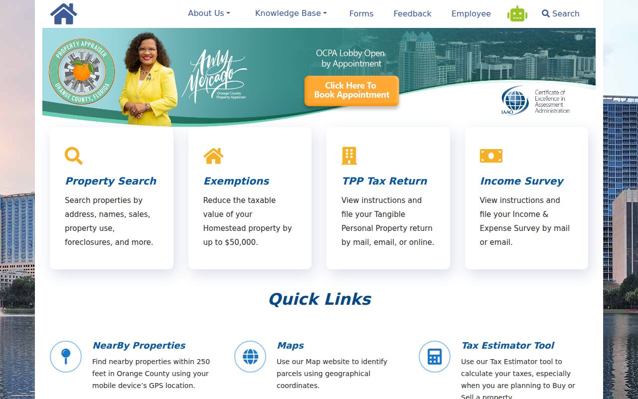
The dashboard is the practical front door for turning one Apopka street into a parcel list.
Map Apopka Street Parcels
OCPA WebMap adds geography to the street directory. Search a parcel or address, zoom until parcel outlines appear, then click adjoining polygons. NearBy Properties can identify parcels within 250 feet. Layers include jurisdiction, HOA, subdivisions, ZIP code, zoning, tangible property, and PLSS survey data. PLSS is the public land survey grid used in many descriptions.
The map is an appraisal and planning aid. It is not a survey, deed, title opinion, or legal-boundary authority. “No record found” may point to a lake, road right-of-way, or other place without a taxable parcel. It does not always mean the address is false.
Use the OCPA WebMap to compare parcel edges and jurisdiction.
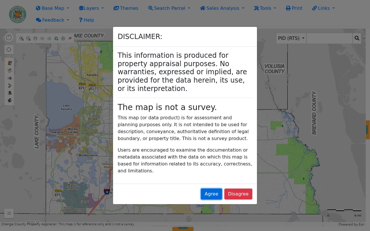
The parcel view helps separate adjacent lots before names are compared.
- Parcel
- A unit of land used for assessment and mapped with its own identifier.
- Situs address
- The physical location, distinct from the owner's mailing address.
- Plat
- A recorded map setting out a subdivision, lots, and blocks.
- Criss-cross directory
- A directory arranged by street and house number instead of surname.
Apopka Records Keyed by Address
No single public record lists everyone on an Apopka street. Each source answers a narrower question, and a reliable street directory keeps those limits visible.
| Address source | Custodian | What it establishes | Access |
|---|---|---|---|
| Parcel roll | Property Appraiser | Owner, situs, mailing address, parcel and sale clues | Free dashboard |
| GIS parcel map | Property Appraiser | Adjacency, jurisdiction, subdivision, ZIP and zoning | Free WebMap |
| Deeds, liens, plats | County Comptroller | Indexed parties, instruments and legal land identity | Free index; counter copies |
| Voter Street Index | Supervisor of Elections | Nonexempt registered voters by street | Formal request; text or ZIP |
| Permits | Apopka Building Safety | Address activity, applicant, owner or contractor | OpenGov or request |
| Code cases | Apopka Code Enforcement | Complaint and notice activity | Office or Chapter 119 request |
Tax Collector data adds current or delinquent tax evidence, but is not a title search. Older county administrative files are available by appointment through Comptroller Records Management. Web gaps can also be handled at the proper counter or with a focused Florida Public Records Law request.
Move from Apopka Parcel to Deed
Take the current owner, sale instrument, and legal description to the Orange County Official Records search. It supports Either Party, Grantor, Grantee, recording dates, document number, book and page, and document types. A grantor gives an interest; a grantee receives it. Search names as last name then first name, try variants, and use a wildcard when needed.
The guide states records can be searched or certified from January 1, 1878. Web image completeness across that span was not verified. The index is a catalogue, not proof. Open the image and compare the legal description, instrument, parties, and date. A prior owner becomes the grantee in the next older search.
Free web viewing and printing are available. The Official Records Department at 109 E Church Street, Suite 300 in Orlando provides a weekday counter from 7:30 a.m. to 4 p.m. Published charges are $1 per ordinary page, $2 for certification per document, and $2 per name per year for staff research.
Apopka Permits Along a Street
Apopka Building Safety routes permit searches to OpenGov by address or record number. A permit can connect a parcel with an applicant, owner or contractor and give work dates. It documents activity, not residence. Residential plans are retained for the life of a structure or ten years after the certificate of occupancy or end of the professional contract, whichever is later.
Visit the city's Building Safety instructions for the current route.
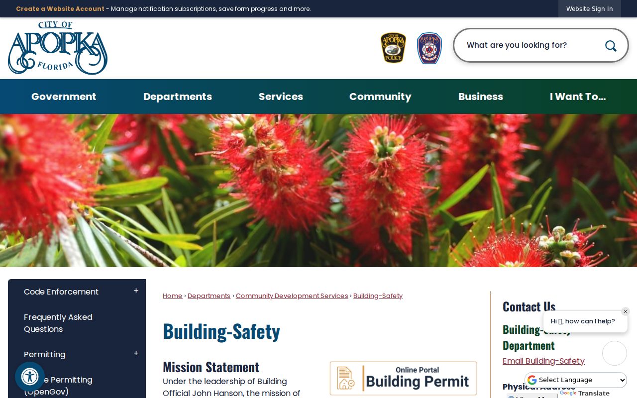
The page confirms address and record-number searching without an unverified archive start year.
Code Enforcement may send notices in person, by certified mail, or by posting. Since July 1, 2021, Florida law generally prevents anonymous municipal code complaints. A reporter's name and address can become public, but that does not prove residence at the subject site.
The Apopka Code Enforcement page explains this route.
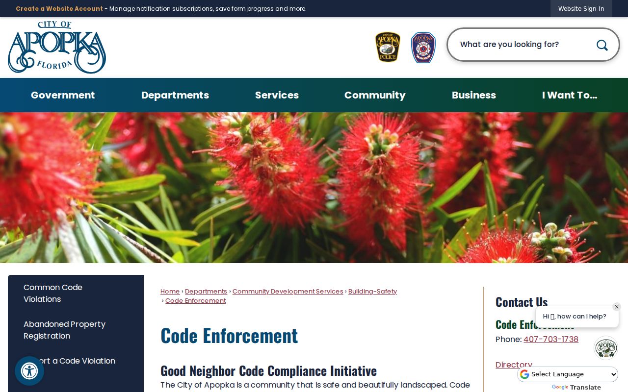
This office fills a city-record gap when code activity is absent from parcel data.
Apopka Voters by Street
The Orange County Supervisor of Elections request form offers a countywide Street Index, not an Apopka-only street-index checkbox. A requester can instead ask for a municipal voter list. Requester details are optional. Files may arrive by email or CD-ROM as text or ZIP data, and the office does not promise software help. Special costs may apply, so request an estimate.
The roll can include legal residence, party, status, districts, registration date, and permitted participation. It never reveals ballot choices. Children, nonregistrants, preregistered minors, cancelled registrations, and protected voters will be absent. Inactive status does not establish a move date.
Apopka Streets Cross Boundaries
Postal names and government borders solve different problems. An “Apopka” mailing address may remain in unincorporated Orange County. City land grew from 8,214.8 acres in 1990 to 23,045.05 acres in 2023, while South Apopka remains a separate annexation question. That growth makes jurisdiction a real search issue.
Apopka's original 1882 limit ran one mile in each direction from the Lodge. The city now spans about 36 square miles. Use USPS for delivery, then use the OCPA Jurisdiction layer and city maps to identify the office handling permits, code, or police. A ZIP cannot settle it.
Population growth adds another reason to date every street result. The federal count reported 54,873 residents in 2020 and estimated 62,777 on July 1, 2024, an increase of 14.3 percent. City and state demographic estimates use other dates and methods, so they need their own labels. Growth can add subdivisions, split parcels, and produce many new address records. It does not prove that a specific street changed name or that one postal ZIP was redrawn.
Older references to the Lodge-centered core, later fern and nursery lands, Errol Estate subdivisions, and development near Kelly Park Road and State Road 429 belong to different stages of Apopka's land history. When the same street label appears in two eras, compare the subdivision name, lot and block, parcel ancestry, and recorded plat. Legal land identity is safer than matching on a typed address alone.
Limits of Apopka Street Records
A modern street directory cannot provide a complete household roster. Parcel data omits renters and most household members. Voter files omit people who are not registered and those protected by law. Utility, delivery, and DMV address records are not public substitutes. A mailing address may belong to an owner elsewhere, while homestead is consistent with owner occupancy but not proof of every resident.
Use street records lawfully. Do not use Apopka address data to stalk, harass, intimidate, or expose a protected person.
Florida's Address Confidentiality Program and other exemptions explain some missing results. Never try to defeat a protected address by joining databases. For family history or civic research, label each result precisely: owner, registered voter, permit applicant, or deed party. Those terms are more sound than “resident.”