
Apopka Neighbor Record Sources
The immediate block is best read as a set of parcels, not as a list bought from a commercial directory. OCPA links each taxable parcel to its titled owner and situs, which means physical, address. WebMap adds the shape and neighboring lots. The voter Street Index is a separate roll of registered voters, while permits and plats describe activity and land. Civic directories identify organizations and contacts, not all people living nearby.
| Apopka block source | What it can show nearby | How to reach it |
|---|---|---|
| OCPA SITUS | Parcels, owner names, physical and mailing addresses | Free dashboard |
| OCPA WebMap | Adjacent lots, HOA, subdivision, jurisdiction, ZIP, and zoning | Free map |
| NearBy Properties | Parcels within 250 feet | Free, with device location |
| Voter Street Index | Public voter records arranged by street | Formal county request, text file |
| Permits and deeds | Address activity, parcel title, plats, and declarations | Free portals or custodian counter |
A parcel result proves the county attributes title to the displayed owner for that assessment record. A matching mailing and situs address, along with a homestead indicator, can support owner occupancy, but it does not name the whole household. A different mailing address only says tax mail goes elsewhere. It does not prove where that owner now lives. Keep those limits visible when comparing Apopka neighbors across a block.
Map an Apopka Neighbor Block
Start at the OCPA WebMap. Search the target address, zoom until parcel boundaries are clear, and click outward one polygon at a time. Record parcel IDs before opening detail cards. That simple process creates a bounded group of adjoining lots without pretending a street name or ZIP is a neighborhood boundary.
- Normalize the address and find its parcel in OCPA.
- Click each touching polygon, then save its parcel ID and situs.
- Open the property detail. Separate titled owner, mailing address, and physical address.
- Turn on jurisdiction, HOA, subdivision, ZIP, and zoning layers as needed.
- Use NearBy Properties for the defined 250-foot view, then verify each result on the parcel record.
OCPA says its map supports appraisal and planning; it is not a survey, deed, or legal title authority. A click on a road or lake can produce no taxable parcel, which is different from a bad address. When the task expands beyond the immediate radius, the Apopka street directory explains the full named-street method.
Apopka Neighbors in Voter Data
The Orange County Supervisor of Elections offers a countywide Street Index through its records request form. It also accepts a municipal Apopka voter-list scope. These answer different questions: one arranges county voter data by street, while the other limits a file to registered voters in the municipality. The office delivers text or ZIP data through an account, email, or CD route. A special request may have an unquoted file cost, so ask for an estimate.
Public voter fields can include name, legal residence, party, status, registration date, districts, and permitted participation history. Participation only identifies elections in which someone voted. Ballot choices remain secret. Children, nonregistrants, protected voters, preregistered minors, and cancelled registrations are not a complete block population, and inactive status is not a precise move date.
Note: The research did not verify open anonymous street browsing because the county Public Data Access screen is account-gated.
Apopka Community Contacts Differ
Association and district names add civic context after the parcel work. They do not add a resident roster. Apopka's HOA forum gathered board and service contacts for emergencies. The county Neighborhood Organization Directory can publish voluntary group contacts such as Country Run Community Association. Contact names can change and may be personal details offered for a narrow civic purpose, so retain the directory date and do not turn one into a profile of nearby people.
City special districts
Mainline Village, Maine Avenue Villas, Cimarron Hills, Martin Place Phase 2, Lovell Terrace, and Lake McCoy Oaks are named improvement areas.
County organizations
The Orange County directory supplies voluntary neighborhood contact points, not a membership or household directory.
Local institutions
The Apopka Museum, Chamber, congregations, and community groups may hold historical material, subject to their access and privacy rules.
The city's special-assessment page explains the public service districts. Such districts can replace services after an HOA dissolves, but they are not HOAs and do not prove membership. Private covenants may go beyond City Code, and the city does not enforce those covenants.
Local institutions can help with the history of a block, though their records serve other purposes. The Apopka Museum accepts a research topic with the requester's name, email, and phone. The Chamber has a voluntary business-member directory. The Apopka Chief's notices may connect an estate, fictitious name, hearing, or land description to a place. Its publication route changed after the February 2025 ownership transition, so both the older issue archive and current notice path may be needed. None of these sources should be recast as a list of current households.
Check Activity Around Apopka Neighbors
Permits and code cases can explain what changed near an address. Apopka Building Safety routes an address or record-number search through OpenGov. A result may show an applicant, owner, contractor, and work date, yet none of those roles proves residence. Code notices may be served in person, by certified mail, or by posting. A reporter's address, when public, is not proof that the reporter lives at the subject parcel.
Jurisdiction comes first. An address with an Apopka mailing city can remain in unincorporated Orange County. Use the WebMap jurisdiction layer before deciding whether City Hall or the county holds the permit and code file. South Apopka's annexation history is a clear local reason for that check. Postal labels, city limits, special districts, and subdivisions describe different geographies.
Deeds and plats answer a third kind of block question. A deed links named parties to a recorded transfer, while a plat lays out subdivision lots and blocks. Start with the parcel ID and legal description, then move to the Orange County Comptroller's Official Records index. Search the owner as a party and confirm the same lot, block, or metes-and-bounds description in the image. Deed parties are not a list of occupants. Declarations and plats can identify shared restrictions or common land without naming the people now nearby.
Official Apopka Neighbor Records
Commercial neighbor tools compile names and addresses from many sources. They can merge people, preserve old addresses, or imply a household that never existed. Official sources are narrower, but each has a named custodian and a defined record purpose.
| Source type | Useful for | Main limit |
|---|---|---|
| Official parcel and GIS rolls | Land, titled owner, adjacency, and public map layers | Not a household roll or survey |
| Official voter street data | Public fields for registered voters | Many residents are absent; protected fields are withheld |
| Commercial compilations | Possible leads that need confirmation | Stale, merged, and wrong-household associations |
Use a compilation only as a lead. Confirm every claim with the right government roll or the person directly. Public availability never turns an uncertain match into a fact.
For a same-name match, compare the parcel number, co-owner, recorded instrument, and dates instead of relying on age or a guessed relationship. If the portal fails, ask the actual custodian for a narrow series, address, and date span. Florida Public Records Law permits any person to request public records without giving a reason or proving state residence. The custodian must respond promptly and in good faith, but the law sets no fixed number of days. A precise electronic request is easier to price and route than a demand for every record on a block.
Apopka Safety Search Boundaries
The Orange County Sheriff's FAQ route points to the county Corrections inmate search. Custody data is current status information, not a list of Apopka neighbors, and the exact search fields were not verified in the research.
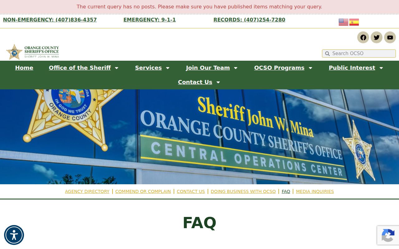
The captured route helps keep a county custody question with its official source rather than mixing it into the parcel map.
The Florida Department of Corrections search covers state prison and community-supervision records.
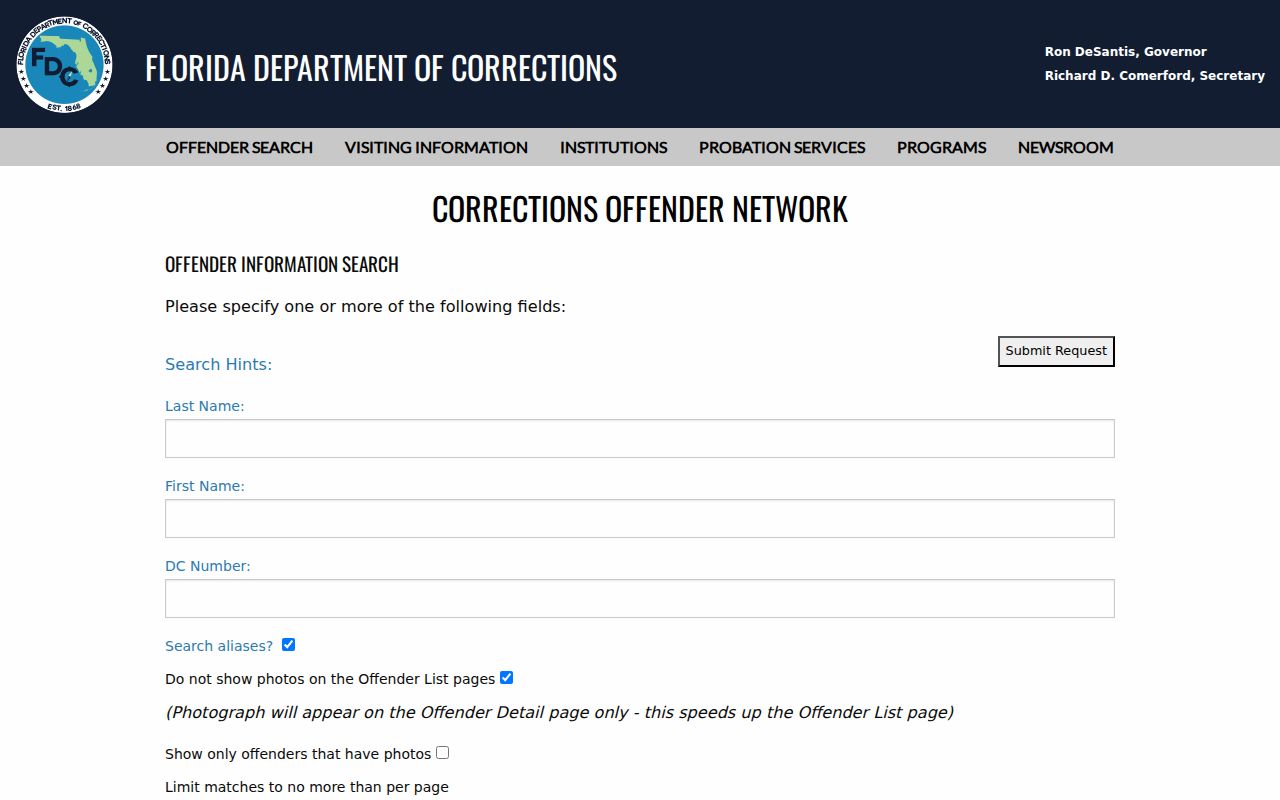
State correctional status has a different scope from county custody and still does not prove that a displayed address is a current household.
Privacy for Apopka Neighbors
Public records leave important spaces blank. Parcel rolls omit renters and other household members. The voter file omits nonregistrants and protected entries. Utility, delivery, and DMV address data are not a public shortcut. Florida law also protects registration sources, Social Security and driver-license identifiers, preregistered minors, and voter signatures from ordinary copying.
Florida's Address Confidentiality Program shields qualifying participants' residence, work, and school addresses, related phone numbers, and Social Security numbers. The protected-address statute shows why a person known to live in the area may be absent from a public result.
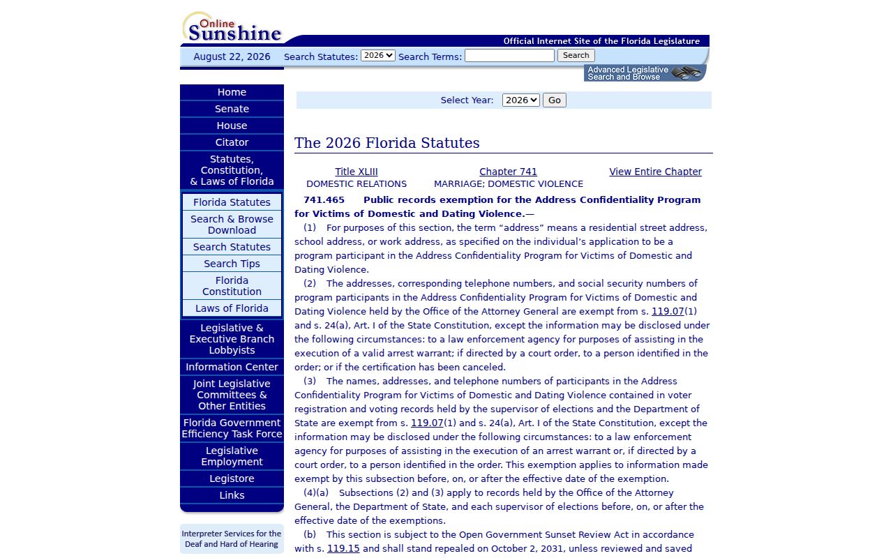
The statute capture marks a hard boundary. Never combine databases in an attempt to defeat a lawful suppression.
Lawful use. Learn about Apopka neighbors for civic curiosity, reconnection, or personal safety. Never use records to watch, threaten, intimidate, or harass anyone.